
Ottawa County Neighbors Block Sources
Public sources answer different block questions. The Ottawa County GIS Property Mapping viewer gives the spatial picture: parcel outlines, roads, water, and map context. The property search adds the county’s parcel record and its owner or address distinction. A deed can answer a specific ownership-history question. Voter and neighborhood resources are much narrower. None of these records is a complete directory of the people who live around an address.
| Source | What it shows about a block | Access boundary |
|---|---|---|
| GIS parcel viewer | Adjacent shapes, roads, water, parcel geography, and possible parcel links | Public map; live identify controls can vary; no occupancy proof |
| County property search | Owner, situs and mailing distinction, plus property tabs by parcel | Search by parcel or address; local units maintain data |
| Register of Deeds index | A specific parcel’s ownership chain and legal-description clue | Free index; image and copy charges can apply |
| Voter process | Lawfully available registration, status, precinct or district clues | Not a household roster; protected data is withheld |
| Municipal permits or code | Address event and named applicant, owner, contractor, or agent | Local-unit request; no countywide index was located |
| Neighborhood resources | Community boundaries, guides, events, and connector contacts | Not an association membership directory |
| Historic directories and notices | Past occupants, moves, civic notices, or business references | Library or archive access; historic evidence only |
A tax owner may live elsewhere. A mailing address may be for correspondence, while the situs address locates the parcel. A mapped parcel can border another parcel without showing a household. These distinctions keep a neighbors search tied to what each official record actually proves.
Note: Start with adjacent parcel geography, then use only the record needed to answer a specific and lawful block question.
Map Ottawa County Neighbors
The adjacent-parcel method starts with one validated situs address and stays within the immediate block. Ottawa County describes GIS work that includes parcel mapping, subdivision plats, voter locating, roads, utilities, and location-based response. The public viewer is dynamic, so its visible layer names and controls should be treated as a live-interface detail. If an identify link is unavailable, the parcel number can still be entered in the property portal.
- Confirm the target situs address in the county property search, then open the GIS viewer and locate the matching parcel outline.
- Mark the parcels beside it and across or behind it only where the map shows an actual adjoining relationship. Record a road, water edge, municipal line, or vacant parcel that interrupts the block.
- Open each adjacent parcel’s county property record, or enter its parcel segments if the GIS link is not available. Keep the parcel ID, situs, owner name, owner mailing address, and public property tabs separate.
- Use the deed index only when a defined ownership-history question remains. Search by parcel or name rather than building a broad list of names.
- Use voter information only through the authorized public process, as a registration clue with statutory exclusions rather than a list of residents.
In short, the flow is address to parcel map, adjacent polygons, property record, then a limited record check if needed. For a named street’s wider address-by-address record trail, use the Ottawa County street directory instead of extending this immediate-block method.
Ottawa County Neighbors Parcel Limits
The Ottawa County property search accepts owner name, segmented parcel number, or house number and street name. It also offers active and inactive parcel controls. Its visible result navigation includes Property Information, Property Summary, Tax Description, Sales History, Split History, and Parcel Report. The inspected research did not expose a full parcel card, so exact owner, value, exemption, sketch, sale, or redaction fields should not be assumed beyond the portal’s stated tabs.
Three terms keep the search accurate. The situs address is the parcel’s physical location. The mailing address is where tax notices or owner correspondence go, which can be in another city or state. A legal description ties a parcel to a lot, block, addition, plat, or metes-and-bounds description. The owner mailing address may be a useful contact clue, but it does not establish who occupies a structure.
- Parcel number
- The county identifier used to connect the property portal, GIS, and recorded-deed searches. Observed Ottawa portal segments begin with 70.
- Adjacent parcel
- A parcel whose boundary meets the target parcel on the map. Spatial proximity alone does not identify a household relationship.
- Plat
- A recorded subdivision map that can connect lot, block, addition, road, and parcel descriptions across record systems.
Ottawa County Neighbors Voter Clues
Michigan registration records are public within defined limits, but the public lookup is not a block roster. The Michigan Voter Information Center routes voters to registration and polling information. A more detailed Qualified Voter File request may be scoped by county, city or township, district, ward, precinct, or other allowed geography, with its own delivery and cost rules. The state’s request form allows pickup, FTP, or mail, rather than email delivery.
MCL 168.509gg protects driver or state ID numbers, month and day of birth, phone numbers, digitized signatures, the last four Social Security digits, application details identified by statute, and protected addresses. Michigan does not register voters by party, and ballot choices are not public. A registration hit can be one lawful clue to civic status or precinct, but it never establishes every person who lives at an address.
Note: A public voter field supports only the limited registration fact it reports, not an inference about household membership or private contact details.
Ottawa County Neighbors Connections
Holland’s community layer provides a geographic way to learn about neighborhoods without treating an organization as a resident roll. The city’s Neighborhood Connections page describes five independent neighborhood-based nonprofit connector organizations working within six neighborhoods. Their work links people, organizations, amenities, and businesses. The captured research identifies several examples, but does not support a complete association or member list.
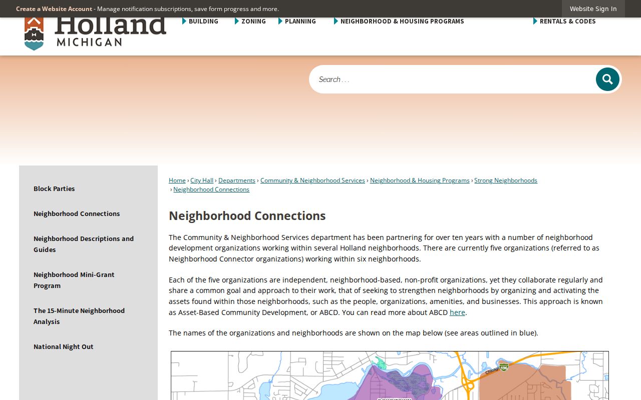
The connector network is a community-resource lead, not evidence that a person belongs to an organization or lives within a particular service area.
| Named connector example | Area or detail captured in the research |
|---|---|
| 3Sixty | Eastcore, Montello Park, and West of Washington |
| Height of Hope | SOAR |
| Washington School Neighbors | Named as a current example on the city resource |
| Westcore Neighbors | Washington Square and Westcore |
Use a connector’s official contact route for program or neighborhood information. The inspected material did not expose a complete list of every organization or any current membership roster.
Ottawa County Neighbors Geography
The City of Holland’s Neighborhood Descriptions and Guides provide names, maps, and guides for Downtown, Historic, Holland Heights, Hope, Maplewood, Rosa Parks, Washington Square, and Westside. These guides are useful when an address needs neighborhood context, especially because Ottawa County’s record trail crosses separate municipal and township systems. A postal name or ZIP does not by itself establish a municipal or neighborhood boundary.
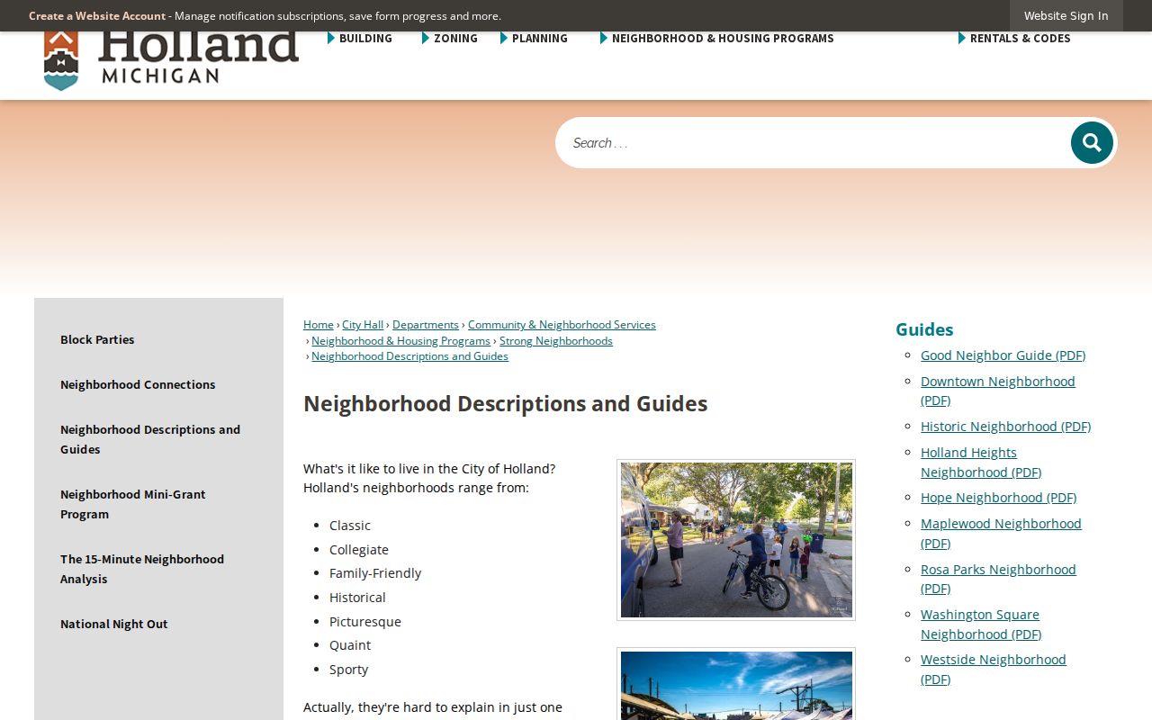
A guide or boundary map can explain the local setting around an address. It does not verify the current people in a home, association participation, or a precise property boundary.
Holland’s Neighborhood Improvement Committee advises City Council and oversees neighborhood programs and mini-grants, with agendas and minutes available as civic records. In Grand Haven, neighborhood associations, merchant groups, and preservation groups may submit names to the Historic Conservation District Commission. Those routes show civic participation, not residence proof.
Ottawa County Neighbors Source Comparison
Official records and commercial neighbor tools answer different questions. County, city, and state sources identify their custodian, record purpose, and limits. Commercial tools generally combine public-record extracts, directory data, and other purchased information. Their coverage, update timing, and correction practices vary, so a result can join people with the same name, retain an old address, or omit people who use confidentiality protections.
| Official block records | Commercial neighbor-tool category |
|---|---|
| GIS defines parcel geography; property data can identify an owner or tax mailing distinction. | May combine multiple sources without making the original record date or custody clear. |
| Voter and court channels disclose only the fields public law permits. | May retain stale or mismatched information and should not be used to infer a private household. |
| The holding office can explain access, corrections, and missing public files. | Its removal process cannot alter a record held by the lawful government custodian. |
Verify a lead with the source that created the record. A commercial listing is especially unreliable when a parcel owner differs from the occupant or an address has changed.
Ottawa County Neighbors Privacy Limits
Several facts stay outside a public block workflow: renters, room occupants, children, utility customers, mail recipients, protected voter fields, ACP participants’ real addresses, and DMV data. A GIS adjacent parcel is not an adjacent household. A tax owner is not necessarily an occupant. A directory entry is historic, and a permit applicant can be a contractor or agent. These limits remain important even where a map, property record, or civic guide is easy to reach.
The Michigan Address Confidentiality Program supplies a substitute address and mail forwarding for qualifying people at risk of physical harm. It is not a general deletion program. The proper response to a protected field or address is to respect the boundary and use the official safety route, not to seek the underlying location through other records.
Lawful use. Use public Ottawa County block records for personal, lawful research and community context. Do not use a map, record, or neighborhood resource to stalk, harass, intimidate, or repeatedly contact anyone.